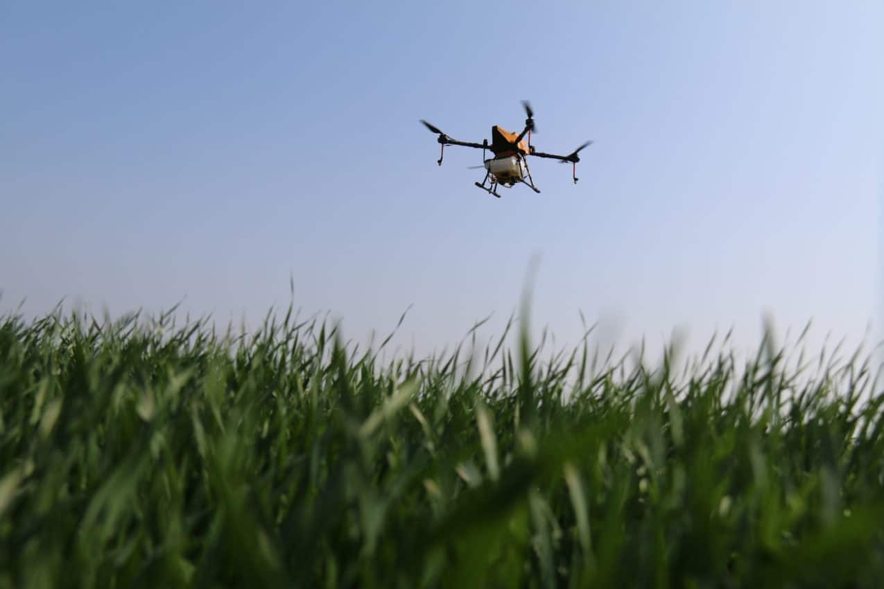
We recently had the opportunity to ride along with CoStar Group’s field-research team to conduct aerial surveys on a handful of rural properties listed on Land And Farm.
The increasing accessibility of drone technology in recent years has made it an essential component in the land marketer’s toolkit. Just as impactful photography, it can grab and hold a prospective buyer’s attention, and capture a property’s full geographic context. With a lightweight photography drone, you can survey a property for a fraction of what it would cost to do using a helicopter or a light aircraft.
Here are some recommended steps to consider before adding drone photography to your arsenal of seller materials.
Getting certified
In order to operate a drone—formally known as an “unmanned aircraft system” or UAS—for commercial purposes, you will first need to obtain an FAA-certified UAS pilot’s license. The current process, defined by the FAA’s “Part 107” rules, involves taking a written remote pilot exam at one of almost 700 Knowledge Testing Centers around the country.
Once you have passed this certification, you are required to adhere to UAS operating standards such as keeping your drone within line of sight and keeping a safe distance from certain areas such as national parklands or nearby municipal airports and heliports.
Drone schools offer classes that cover online certification-test preparation as well as in-person courses that allow you to learn from qualified experts and get a feel for the equipment. Check out sites including UAV Ground School and UAV Coach.
Read more: Federal Aviation Administration UAS guidelines and requirements (FAA.gov)

Picking the right gear
Before you drop $10,000 on the latest and greatest drone equipment, consider how you and your team plan to use this gear. Entry-level drones can cost less than $500 but may not offer the image quality that you, your clients, or buyers expect. However, first-time pilots may want to gain some experience on a less expensive model without worrying about losing an expensive drone in some distant stand of trees. Starter kits can cost less than $100—something to keep in mind as you get started.
Prosumer-level drone models start in the range of $1,000 to $3,000. Higher priced models include add-ons like camera lenses and fittings, battery and charging equipment, and casing to store and transport your drone. DJI’s Inspire series (starting at $3,000) are professional rigs that include features like obstacle avoidance and professional-grade image-capture tools.
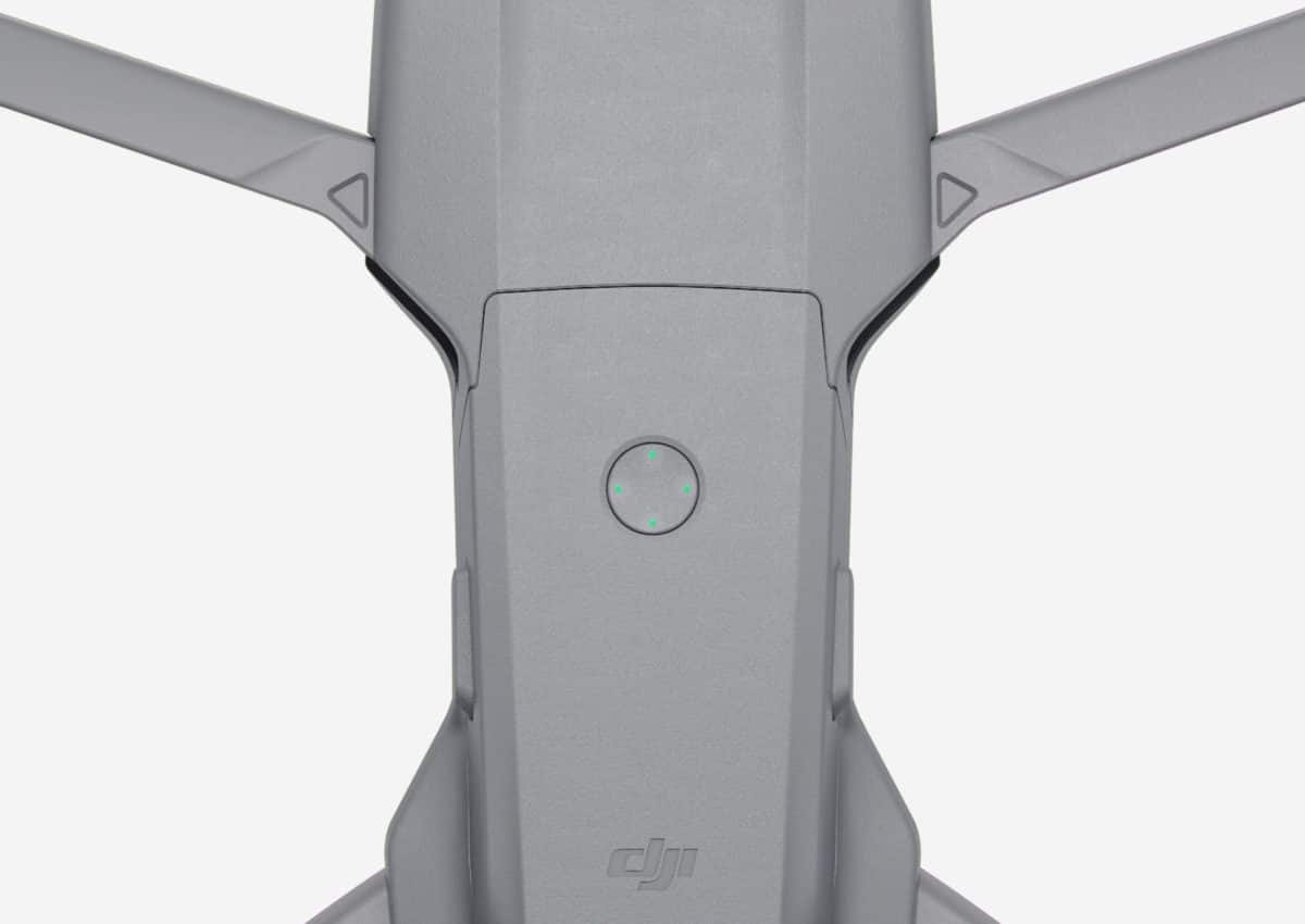
One mid-priced option that may appeal to land sellers looking to showcase land and property in more rural and rugged areas is the DJI Mavic series. These smaller drones starting at $500 offer powerful image-capturing and flying capabilities in a portable, lightweight body that’s equipped to fit in a backpack.

Flying takes practice—and planning!
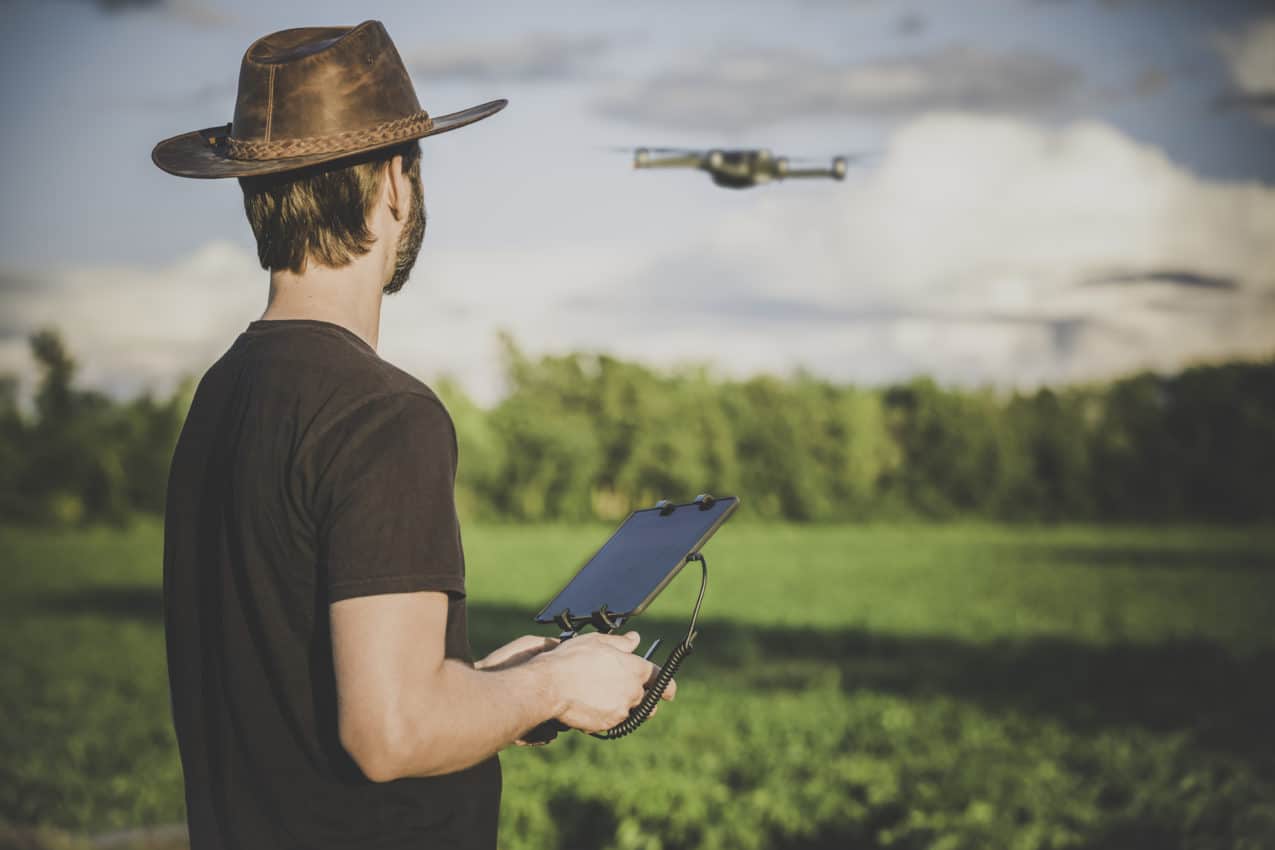
The relative ease-of-use for today’s drones belies some incredibly sophisticated technology that wouldn’t have looked out of place in a science fiction movie ten years ago. Flying a drone requires the ability to maneuver an aerial vehicle at different altitudes and oftentimes far from the naked eye, in addition to operating a camera to capture your aerial imagery.
With that in mind, it pays to practice your flying skills before you go out in the field to shoot a property or parcel of land. Find an empty field, parking lot, or sports field to hone your operating skills, as well as work on the various types of flight paths and scenarios that you will need when flying “live.” It is also a good idea to create a checklist for operating the drone, as well as a shot list for the angles and perspectives you plan to capture.
One important thing to note about drones is that these guys are thirsty. A fully charged battery pack may only last for a 20 to 25 minute flight. You will need to factor your power needs into your flying timeline, especially if you are off the grid and reliant on whatever you packed in order to shoot your day’s clips. Drained batteries also require recharging time—another consideration in planning your time.
Planning also extends to understanding local airspace and where you can and cannot fly. The FAA maintains strict guidelines for UAS operation within proximity to airports, sporting venues and other public areas. The FAA’s B4UFLY app is a free smartphone app that helps UAS operators determine whether there are any restrictions or requirements in effect at the location where they want to fly. It goes without saying that you should also check with local land and property owners before taking flight.

Be aware of the risks
Drones are powerful tools that will up your marketing game, but they are also aerial vehicles that carry obvious risks. Accidents happen, so be sure to read up on insurance options for incidents like collisions or equipment damage. Useful options to consider here are Thimble or Skywatch, on-demand insurance providers for recreational and commercial drone flights that cover liability up to $2.5 million for as little as $10 per hour.
Read more: A complete guide to drone insurance (UAVCoach.com)
If all this sounds too much, it’s worth noting that there are plenty of companies offering drone videography services for relatively low costs, compared to what it once cost to capture aerial footage for a new listing. Some packages will also include impressive interior drone photography to boost your marketing materials beyond the standard offering.


