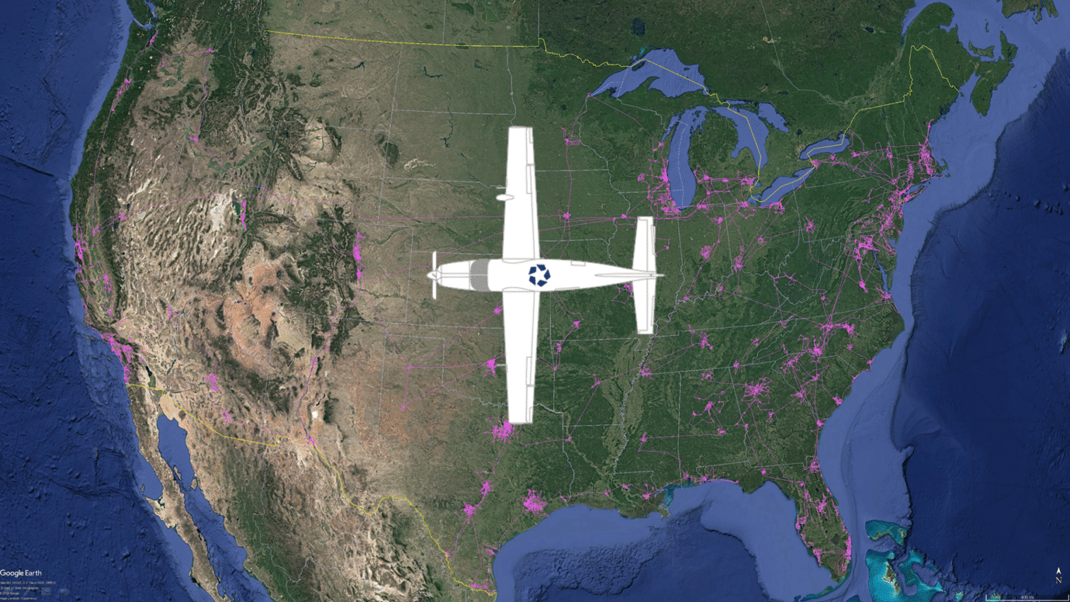
CoStar took to the air to bring market research to a new level in 2014, when the company acquired its Cessna Grand Caravan, a low speed plane flying at 120 knots at an elevation of 2,500 feet and higher. The plane’s construction and capabilities are perfect for canvassing various neighborhoods, cities and development areas, allowing CoStar’s aerial researchers to take high-resolution video and photography using a 6K RED EPIC DRAGON cinema-quality camera, mounted on the underside of the plane in a Cineflex Ultra gimbal.
By canvassing for construction sites, new building development and other commercial real estate activity that can be spotted from above, the CoStar research team harnesses a powerful, additional repository of intelligence and imagery—which CoStar aerial researchers immediately add into the CoStar commercial research database.
CoStar’s plane provides an extra dimension to the company’s real estate data across every U.S. market where CoStar operates. CoStar employs two full-time aerial research operators and a pilot team that work together as the plane travels across the country to gather industry-leading data.
Read more about CoStar’s industry-leading research and data-gathering capabilities here.