From aerial-imaging solutions to sophisticated 3D-modeling technology, today’s real-estate customers have an array of tools at their fingertips to help them discover and visualize property for sale, including those in the land and rural real estate space.
No matter where you stand on Google’s erstwhile “don’t be evil” creed, there’s no doubting the technology behemoth has given us a plethora of products that have revolutionized the way we do business, from no-cost email to the ubiquitous utility of Google Maps in pretty much every facet of our daily lives.
One such free product that has myriad uses for the enterprising land buyer is Google Earth, a somewhat unwieldy application in its entirety but one that allows you to cruise to all corners of the Earth without the nausea-inducing side effects of a VR headset.
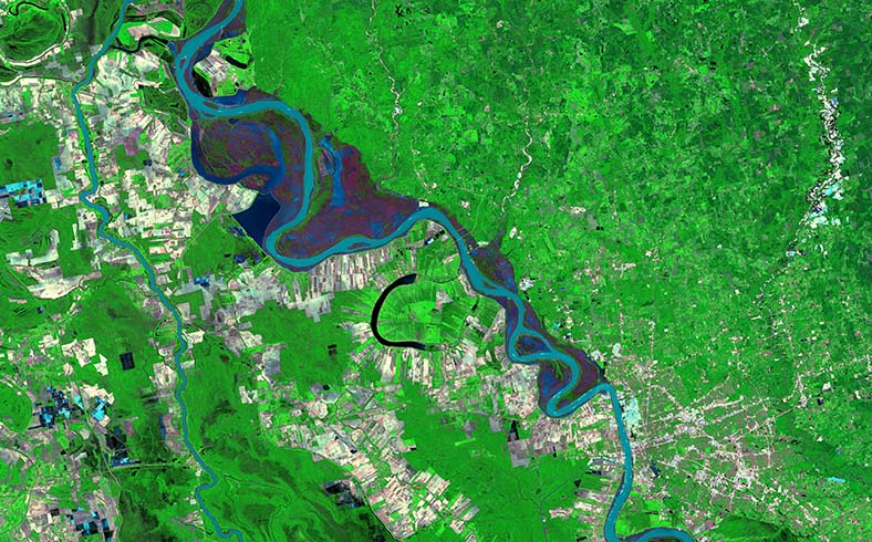
Google Earth Engine is an experimental offshoot of Google Earth that stitches together over five million satellite images acquired over the past three decades by five different satellites to give you a sense of how the planet’s landscape has shifted over time. Go ahead and give it a play and see what your neighborhood or town looks after years of urban development, suburban sprawl or environment-driven factors like drought. From the explosive spread of Sin City into the Nevada desert or the receding glaciers of Alaska’s Inside Passage, these mosaics are a timely look at our footprint over time on the land beneath our feet.
Beyond the playful nature of seeing cities metastasize over time through the Timelapse feature, Google Earth Engine has various real-world applications for everyone from climate scientists to conservationists to demographers. Available datasets include climate and terrain layers, as well as the ability for developers to upload and integrate their own data through the application’s open-source programming platform.

